Searching for Gyumri’s iron fountain and discovering the surrounding neighbourhood
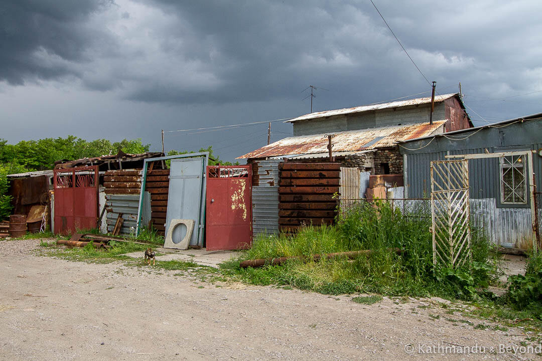
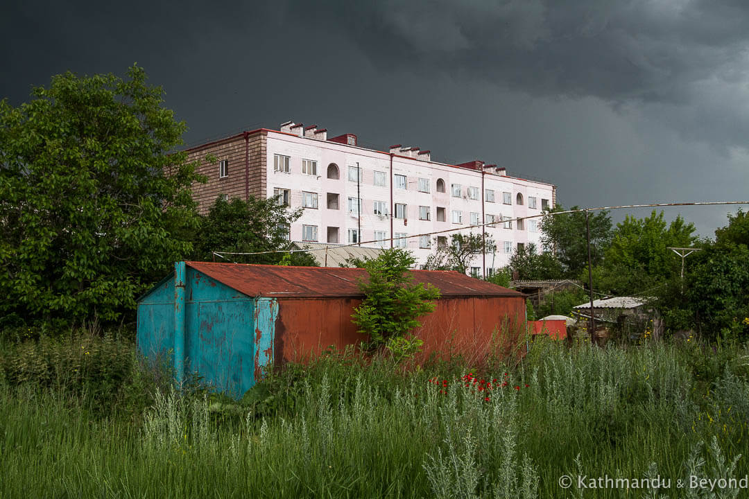
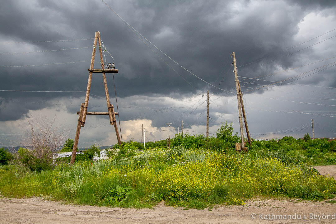
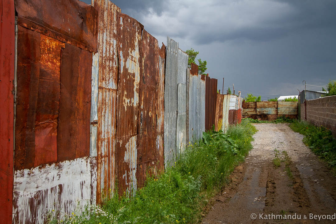
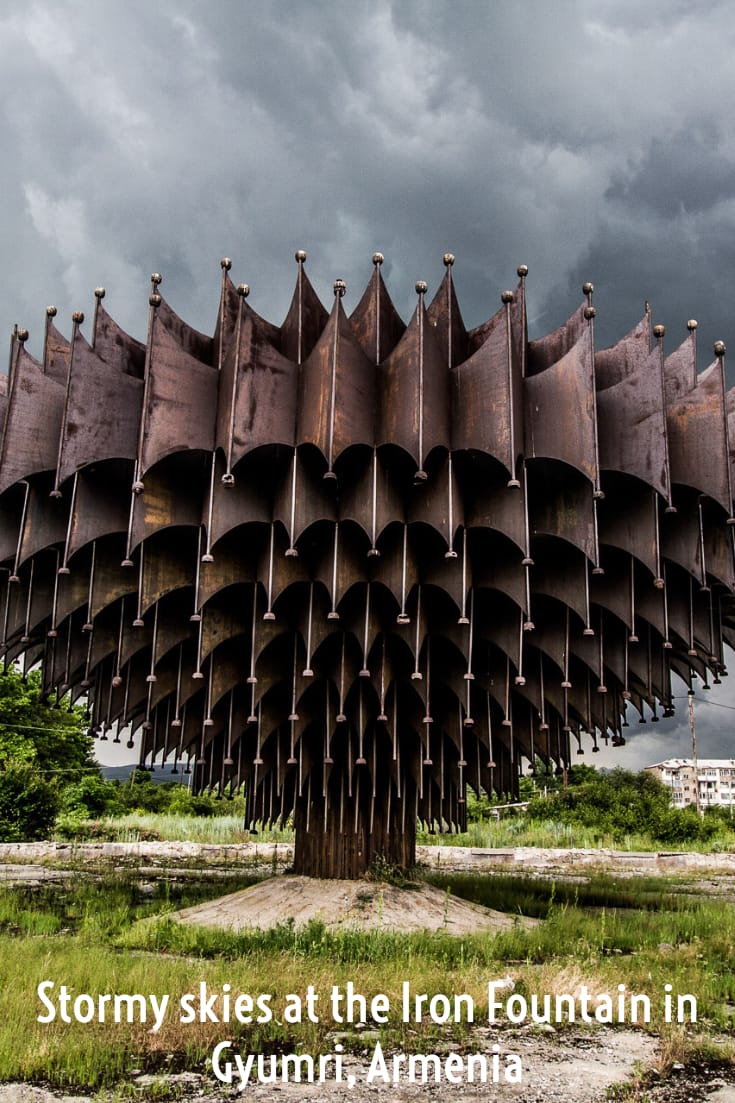
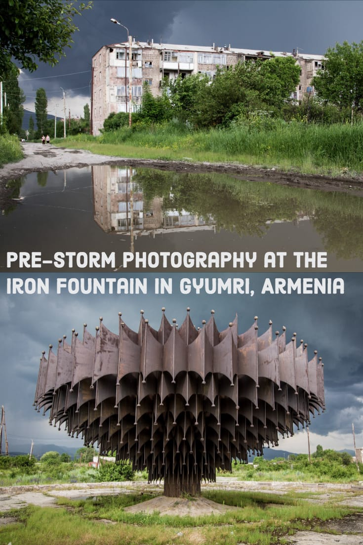
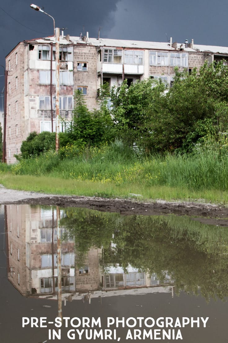
While taking a stroll around Gyumri, Armenia’s second-largest city, we walked into the eye of the most incredible storm. It was late afternoon and we were on the outskirts, heading in the direction of the iron fountain pictured below.
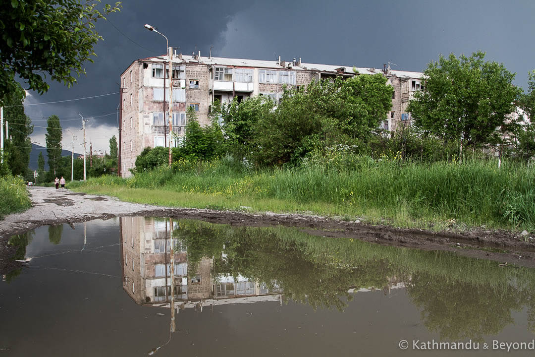
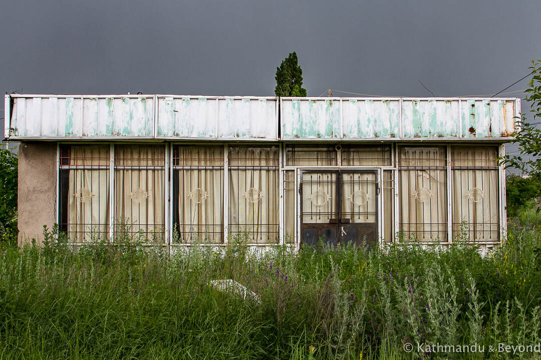
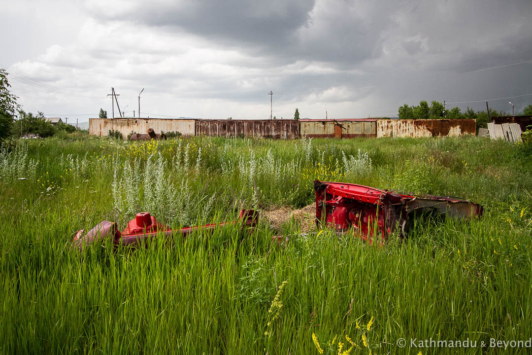
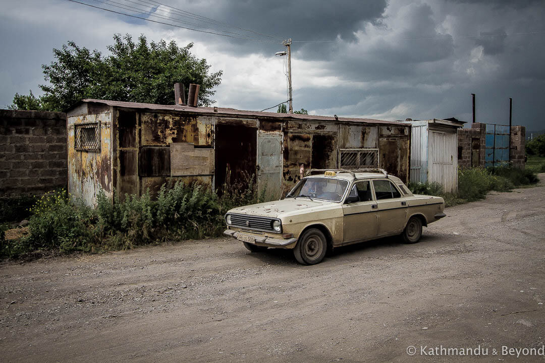
Large areas of Gyumri were flattened during the destructive earthquake that hit this part of western Armenia in 1988. The fountain, which was created by the prominent Armenian-born Soviet architect, Artur Tarkhanyan, in 1982, used to be the centrepiece of the Polytechnic University of Gyumri campus that surrounded it and, when the 6.8-magnitude earthquake hit, everything in the area was destroyed except for the fountain. Many people, who were displaced as a result of the tremor, set up temporary homes in the vicinity shortly thereafter and, eventually, quite a few of these dwellings became permanent. The neighbourhood remains rundown and neglected and it was fitting that the sky, accompanied by thunder and lightning, turned a hellish black as we walked through the area and eventually arrived at the fountain.
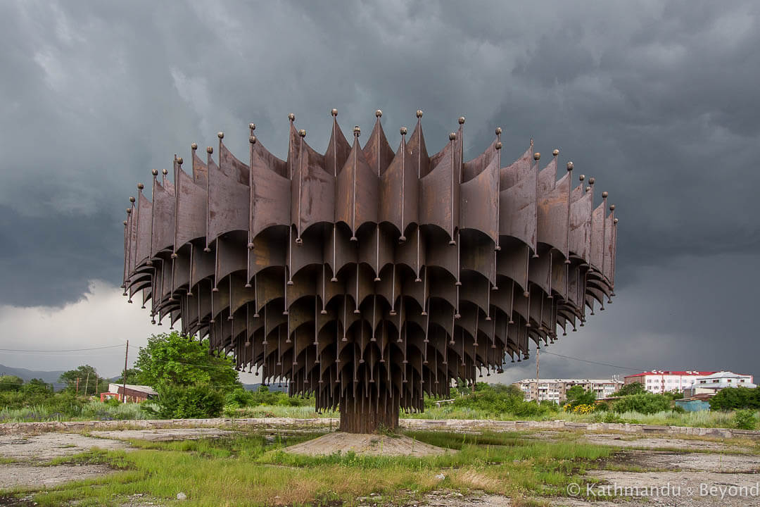
We think these atmospheric photos are some of the best we have taken. Nothing to do with our skill with the camera, mind: the subject matter and the conditions were simply perfect for one another and it was a case of being in the right place at the right time!
We ultimately got hit by the storm and had to sit it out for thirty minutes or so in a nearby bus stop which offered us, and the other five or six people we ended up sharing it with, very little in the way of protection. We ended up getting reasonably soaked but it was well worth it!
How to get to the iron fountain in Gyumri
If you want to see the fountain for yourself, it is located about 3km north of the centre of Gyumri. The distance is walkable (if there isn’t a storm brewing!) or, alternatively, take any marshrutka (fixed route minivan) travelling in that direction along Garegin Nzhdeh Avenue, get off at the roundabout, and walk from there.
The GPS coordinates are 40.815657, 43.849876 and it’s very close to Margaret Thatcher Street! (*)
(*) This intrigued me when I spotted it on Google Maps. I know that the former British prime minister visited Ukraine in 1990 when it was still part of the Soviet Union. I touched on it briefly in my post about the Expo Centre in Kyiv and, after a very quick Google search (I don’t want to get into this too deeply at the moment as it will suck all my time if I allow it!), it would appear that she also visited Armenia as part of the same trip because she made a speech in Leninakan, which was the Soviet name for Gyumri, on 10th June 1990.
The idea of one of the most staunch supporters of capitalism visiting the Soviet Union just before its dissolution is an interesting one. Well, it is for me and when I run out of useful things to write about, I’ll look into it further!
READ MORE BLOG POSTS FEATURING THE CAUCASUS
INSPIRED BY THIS POST? WHY NOT PIN IT…

WOW WOW WOW, that storm cloud is terrifyingly dark! You guys had amazing timing!
We are very lucky – if only we could say it was down to our photography skills but sadly we can’t 🙂
Thank you, I was part of a US-based disaster team (1988) and we set up our clinic and camp at the Polytech campus. I remember the Iorn Fountain very well. I always tried to find out how the area did after the quake and I most appreciate your photos, Thanks! I would post any photos I have on request.
Hello Marty, thank you for taking the time to comment on our post. If you don’t mind sharing them, it would be amazing to see some of your photos. Perhaps it would be best to send them in an email. The address to use is [email protected]
Thanks and I look forward to seeing them.
Regards, Mark
Absolutely magical, thanks for sharing. I felt transported there as I read this
You are welcome, and thank you for taking the time to read the post!